Forget expensive trade modules. Our software draws the plan completely automatically while you survey. One price, everything included.
Processes huge amounts of data directly in the field. Completely offline-capable.
You walk, the software draws. The finished plan is created in real time.
No more module costs. You get the full range of functions.
Our system is more than just a measuring tool. It is your automatic draftsman. As you capture the point, the software already creates the correct lines and symbols in the plan.
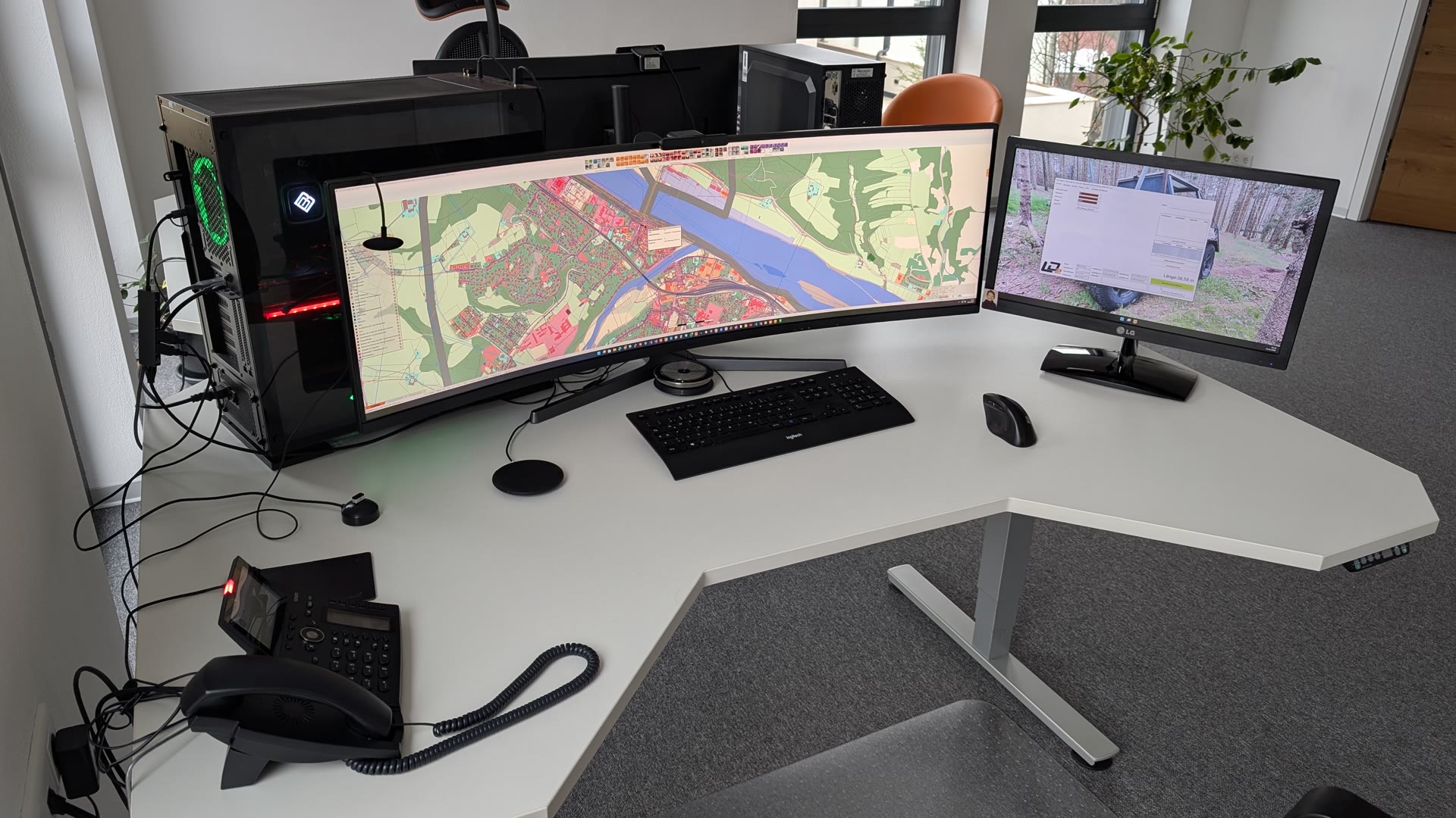
The fastest GIS in the world. No loading times, no complex server structures. Your survey data lands seamlessly here – ready for analysis and further processing.
GIS Features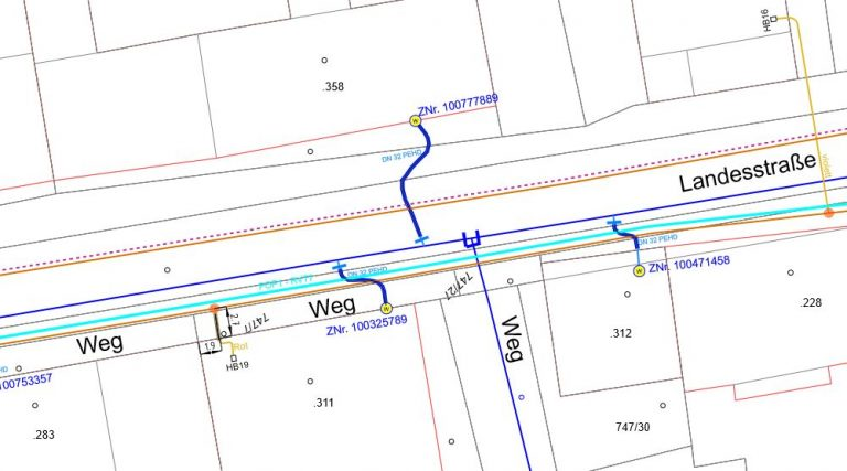
The "mega-powerful" module for broadband expansion. Manage splices, connections and tickets in one system. From the chamber in the shaft to billing in accounting.
LWL Manager Details
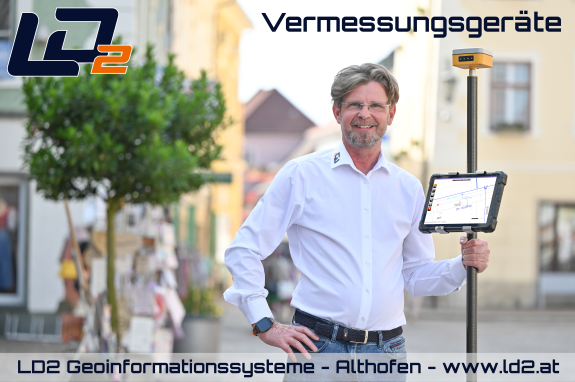
So that LD2 can achieve its full performance, we provide you with robust, perfectly coordinated equipment. Direct and uncomplicated.
Load hardware...