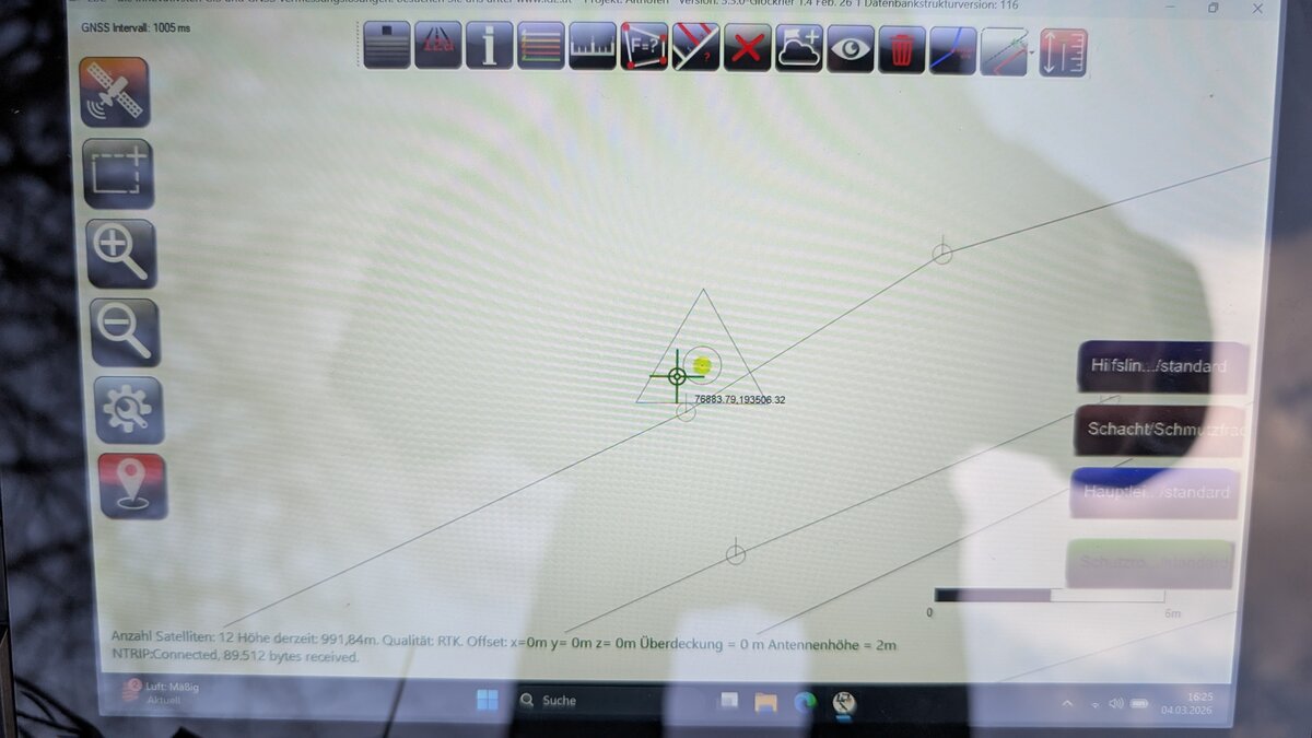
Fine calibration at the boundary stone — step by step explained in the field with LD2 software. With photos and video.
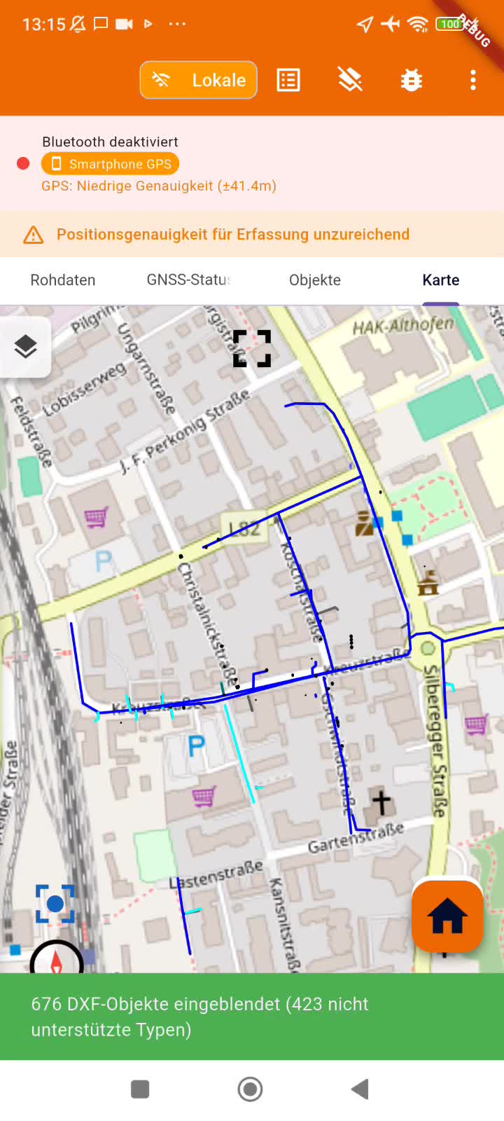
Load existing pipeline plans, cadastral data or CAD drawings as DXF directly on your phone — overlaid live with your GPS position.
 LD2
LD2